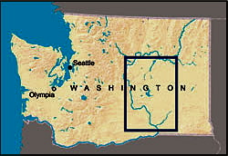

The Columbia Basin Project


Odessa groundwater mining was allowed, in part, because of the early belief that the Columbia Basin Project would expand into the Odessa subarea and replace groundwater use. The Columbia Basin Project is the U.S. Bureau of Reclamation irrigation project that diverts water from the Columbia River at Lake Roosevelt and distributes it to about 650,000 acres of agricultural lands between Grand Coulee and the Quad Cities.
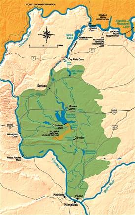
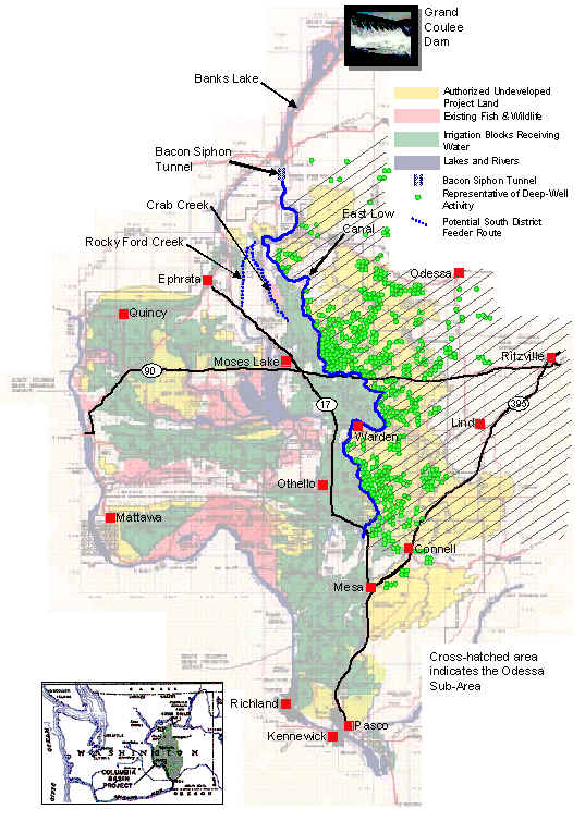
Maps of the Columbia Basin Project, For more on the Bureau of Reclamation and this project, click here.
But when it came time to consider expansion of the project in the 1980s, completion of the CBP was rejected as economically infeasible and environmentally harmful.
The CBP is the largest federally-run irrigation project in the United States. Massive subsidies are required to pump water to the irrigators, including taxpayer support for the cost of the project and Bonneville Power ratepayer subsidies for the energy it takes to pump water from Lake Roosevelt into Banks Lake. The following graph shows a breakdown of CBP subsidies in 1990 dollars.
Table: Columbia Basin Project subsidies and who pays.
Completion of the Columbia Basin Project was also halted because of impacts on Columbia River salmon, several species of which were listed as endangered in the 1990s. Low flows and reservoir slackwater contribute to the decline of salmon populations. Expansion of the CBP to serve the Odessa subarea would require additional withdrawals of water from the Columbia to the detriment of endangered fish.
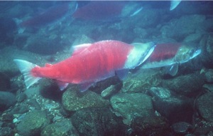
Sockeye Salmon (Oncorhynchus nerka) Photo: Travis Nelson, Washington Dept. of Fish & Wildlife
Although Odessa-area irrigators frequently claim they were deprived of CBP water, not all of the Odessa is within the original boundaries of the project. As the CBP boundary map indicates, even if the Project had been built to original boundaries, it would serve only about one-half of the Odessa subarea.
Map showing the CBP boundaries and the Odessa subarea (source: Bureau of Reclamation).
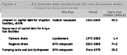
From Whittlesey, N.K., W.R. Butcher and M.E. Marts, “Water Project Subsidies: How They Develop and Grow” (Illahee, Vol. 11, Nos. 1&2 (Spring-Summer 1995)